Earthquake Prediction (Seismological Methodologies, Probability Models, and AI Integration)
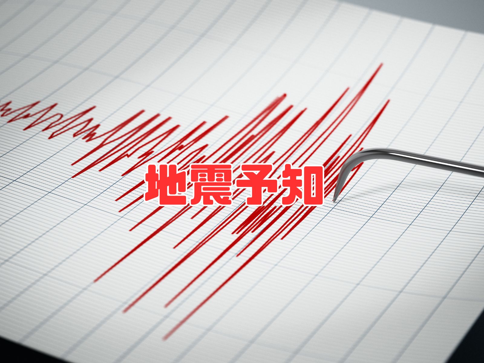
In a highly seismically active nation like Japan, earthquake prediction is a monumental challenge and a vital focus of geophysics research aimed at securing public safety.
This comprehensive treatise explains the scientific definitions, classifications, methodologies, historical cases, and modern advances of earthquake prediction, while addressing key technical limits, artificial intelligence (AI) integration, and common geological myths.
What is Earthquake Prediction?
In geophysics, "Earthquake Prediction" (地震予知 - Jishin Yochi) refers to forecasting the precise three elements of an impending seismic event: the exact timing, epicentral location, and magnitude scale, before the fault rupture initiates.
Because tectonic dynamics are exceptionally complex, predicting all three parameters with high deterministic accuracy remains a massive challenge for modern seismology.
Historically, the term "Prediction" demanded these strict, deterministic parameters. However, over recent decades, the introduction of probabilistic hazard maps (calculating percentage likelihoods of fault ruptures over 30-year spans) became grouped under the same label, causing semantic confusion.
Following the catastrophic 2011 Tohoku earthquake, the Seismological Society of Japan revised terminology, comprehensively grouping all forecasting models under "Earthquake Forecasting" (地震予測 - Jishin Yosoku), while reserving "Earthquake Prediction" strictly for highly precise, deterministic short-term forecasts.
Categories of Earthquake Prediction
Seismology classifies forecasting models into three major structural tiers:
| Prediction Class | Timeframe | Scientific Description | Primary Methodologies |
|---|---|---|---|
| Long-term Prediction | Decades to centuries | Statistical modeling of future probabilities based on historical paleoseismology records. | Active fault geological trenching, historical archives |
| Medium-term Prediction | Years to decades | Tracks variations in regional seismicity patterns and active seismic gaps. | B-value calculations, crustal strain monitoring |
| Short-term Prediction | Weeks to hours | Deterministic alarms based on active precursory geophysical anomalies. | Geodetic strain grids, ionospheric and electromagnetic telemetry |
| Immediate Alerting | Seconds | Real-time alerts triggered upon primary P-wave capture near epicenters. | JMA High-sensitivity arrays, EEW cell broadcast push networks |
- Long-term Prediction (長期予知)
Evaluates potential seismic hazards over decades or centuries based on recurrence statistics. The Long-term Evaluations published regularly by the government's Headquarters for Earthquake Research Promotion represent this category.
However, because geological records do not capture every minor historical rupture, long-term models operate with significant statistical margins of error. - Medium-term Prediction (中期予知)
Covers timeframes of several years to decades, tracking active fault locking and crustal stress migrations to identify seismic gaps. - Short-term Prediction (短期予知)
Aims to issue deterministic warnings weeks or hours before a rupture by tracking active geodetic, chemical, or electromagnetic anomalies.
Earthquake Early Warning (EEW)
The JMA's Emergency Earthquake Warning (EEW / 緊急地震速報) is not a prognostic prediction. Instead, it is a real-time alerting system that estimates the magnitude and origin seconds after a rupture has initiated, pushing alarms before the slower, destructive S-waves reach populated regions.
By exploiting the velocity gap between high-speed compressional P-waves and slower, destructive shear S-waves, the system issues vital warnings that allow citizens to duck and cover before ground motion begins.
While EEW is a vital asset for disaster mitigation, it operates under physical limitations. In epicentral zones, the time gap between P-wave detection and S-wave arrival is too small, creating a "blind zone" where shaking hits before warnings can process.
Additionally, complex concurrent ruptures or deep-focus epicenters can degrade magnitude modeling precision.

【PR】いざという時のための防災セット
・38品目全44アイテムで準備万端
・72時間分の備え
・防災マニュアル付きで安心
・安心のサバイバルセット
Seismological Prediction Methodologies
Geophysicists employ diverse monitoring methods to identify active tectonic preparation phases and predict future ruptures. Key techniques include:
- Geodetic Crustal Deformation Monitoring
Tracks active land displacement and strain loading using GNSS/GPS arrays, identifying stress concentrations along fault surfaces. - Micro-Seismicity Swarm Analysis
Monitors variations in background seismicity and spatial clustering to map active stress accumulation. - Geomagnetic and Electromagnetic Telemetry
Measures variations in geoelectrical currents and magnetic field lines, looking for pressure-induced electromagnetic anomalies. - Hydrogeological and Gas Telemetry
Tracks changes in aquifer levels, deep-well water chemistry, and Radon-222 concentrations escaping through active rock cracks. - Ionospheric Total Electron Content (TEC) Monitoring
Monitors active electromagnetic couplings between tectonic faults and the upper atmosphere, which can manifest as precursory ionospheric electron anomalies. - Statistical Seismology (統計地震学)
Applies mathematical probability models to historical catalog data to extract hidden recurrence patterns.
Potential Seismic Precursors
In seismology, physical anomalies occurring prior to main ruptures are categorized as precursors (プリカーサー). Main studied anomalies include:
- Foreshocks: Swarms of minor seismic events occurring close to a major pending rupture.
- Crustal Tilt: Rapid land uplifting or sinking preceding geodetic failures.
- Water Table Fluctuations: Sudden water level shifts in deep wells near active faults.
- Electromagnetic Volatility: Anomalous fluctuations in regional low-frequency geoelectrical fields.
The Role of Artificial Intelligence (AI)
Recently, the integration of machine learning and AI has accelerated seismological research.
AI algorithms are exceptionally capable of processing vast streams of real-time geodetic, seismic, and electromagnetic telemetry, extracting subtle correlation patterns that human analysts fail to detect.
By training neural networks on multi-dimensional telemetry, researchers seek to construct high-precision predictive models.
While AI-driven forecasting is an evolving technology, it holds immense promise for improving the future precision of seismological models.
Historical Accounts of "Successful" Predictions
Unfortunately, in the history of geophysics, there are almost no scientifically verified cases where a short-term deterministic prediction successfully forecasted all three parameters (timing, location, and magnitude).
Fault physics remain exceptionally complex, and current technology cannot achieve reliable short-term predictions. While China's 1975 Haicheng earthquake is often cited as a success due to foreshocks and animal reports, subsequent megaquakes like the 1976 Tangshan disaster struck without any warnings, demonstrating the extreme difficulty of the task.
Current State and Technical Challenges of Seismology
Although decades of geophysics funding have advanced our understanding, reliable short-term prediction remains unfeasible due to several systemic challenges:
- Precursor Inconsistency
Precursors are highly variable; a geophysical anomaly observed before one megaquake might be entirely absent in the next, making standardized alarms impossible. - Telemetry Density Gaps
To capture subtle micro-strain changes at deep subterranean fault zones, dense global sensor grids are required, but current offshore and deep-crust observation grids remain limited. - Non-Linear Fault Mechanics
Fault ruptures are highly non-linear, chaotic processes. Tiny local shifts can trigger a massive cascading failure, presenting physical limits to prediction precision. - Deep Structural Complexity
Epicenters occur deep in the Earth's crust or mantle, making active physical measurement of fault interfaces exceptionally difficult. - Regional Geological Variance
Tectonic mechanisms and precursors vary significantly across subduction zones and active continental faults, meaning a method effective in one country may fail completely in another. - Swarm Durations
Predicting when a localized earthquake swarm will peak or terminate remains extremely difficult under current models. - Subterranean Fluids: Recent research highlights that geopressured water migrations along faults can trigger ruptures. Monitoring deep fluid movements remains a key seismological challenge.
For instance, before the 2016 Kumamoto earthquake, official hazard assessments evaluated the 30-year probability of a M7.0 class event in the area as under 1%. Yet, a destructive M7.3 event occurred, highlighting the physical limits of current statistical models.
Future Outlook and Advanced Research Directions
To overcome these challenges, advanced research programs are focusing on:
- Expanding Deep-Sea Sensor Arrays
Deploying real-time geodetic networks along subduction trenches (such as DONET and S-net) to capture early deformation indicators close to offshore epicenters. - Developing High-Precision Telemetry Tools
Refining laser strainmeters, geomagnetic arrays, and deep bore-hole water chemistry sensors. - Refining Physics-Based Tectonic Models
Integrating supercomputer modeling of friction dynamics and strain propagation along faults. - Interdisciplinary Physics Programs
Fostering collaboration across geophysics, information theory, statistical mechanics, and materials science.
Common Misconceptions and Seismological Myths
Numerous unscientific premonition claims circulate among the public, notably "earthquake clouds" and "anomalous catfish behavior."
Geophysics research has repeatedly demonstrated that these claims have zero scientific basis. Citizens must always rely on verified data provided by the JMA and academic geophysics institutes, rather than unscientific online rumors.
Conclusion
While earthquake prediction represents a vital holy grail for disaster mitigation, reliable short-term alerts remain physically impossible today. The tectonic mechanisms driving fault ruptures are chaotic, and interpreting precursors involves immense geophysics challenges.
Nevertheless, seismological science continues to advance rapidly. By deploying offshore networks, integrating AI modeling, and developing high-precision telemetry, we are steadily improving our long-term hazard assessments and real-time alerting systems.
Earthquake safety demands a tight integration of scientific research and public education. Rather than pursuing unscientific premonitions, the most effective strategy is to build deep community resilience and maintain robust home safety preparations today.
About "Earthquake Prediction (Seismological Methodologies, Probability Models, and AI Integration)"
This page provides the English definition and usage guide for the professional term "Earthquake Prediction (Seismological Methodologies, Probability Models, and AI Integration)." If you have any suggestions, feedback, or corrections regarding our terminology articles, please feel free to reach out via our contact form.